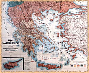
Kipert, E., Map of the regions making up the Greek state in 1891.
150 x 185.5 cm.
Athens, Hellenic Literary and Historical Archive.
One hundred years of Hellenic Cartography 1830-1930, Society for Hellenic Cartography Publications-Hellenic Literary and Historical Archive, Athens 1992, p. 74, fig. 17.
© Hellenic Literary and Historical Archive, Athens.